

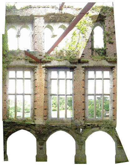
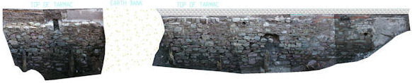
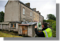
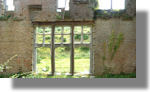
Rectified photography is
used to record building facades where detail such as subtle
changes in materials is required to be recorded. Images are
scaleable in a CAD environment. This is an excellent method
for records purposes. 
Click
here to see a sample of Rectified Photography (Adobe
Reader required)


Focus Surveys Ltd., O'Connell Avenue,
Turners Cross, Cork.
Tel: 021 4314555 Fax: 021 4975907 Email: info@focussurveys.ie